Advanced Techniques for Precision Land Grading
- Laser-Guided Precision: Laser-guided systems ensure millimeter-level accuracy in grading by aligning equipment to specified heights and slopes, significantly reducing errors and enhancing project efficiency.
- GPS Integration: GPS technology enables precise, real-time equipment adjustments according to design specifications, streamlining grading processes and eliminating the need for manual measurements.
- Drone Surveying: Drones offer rapid, accurate land surveying and project monitoring, facilitating early discrepancy detection and corrections, thus ensuring grading accuracy and project efficiency.
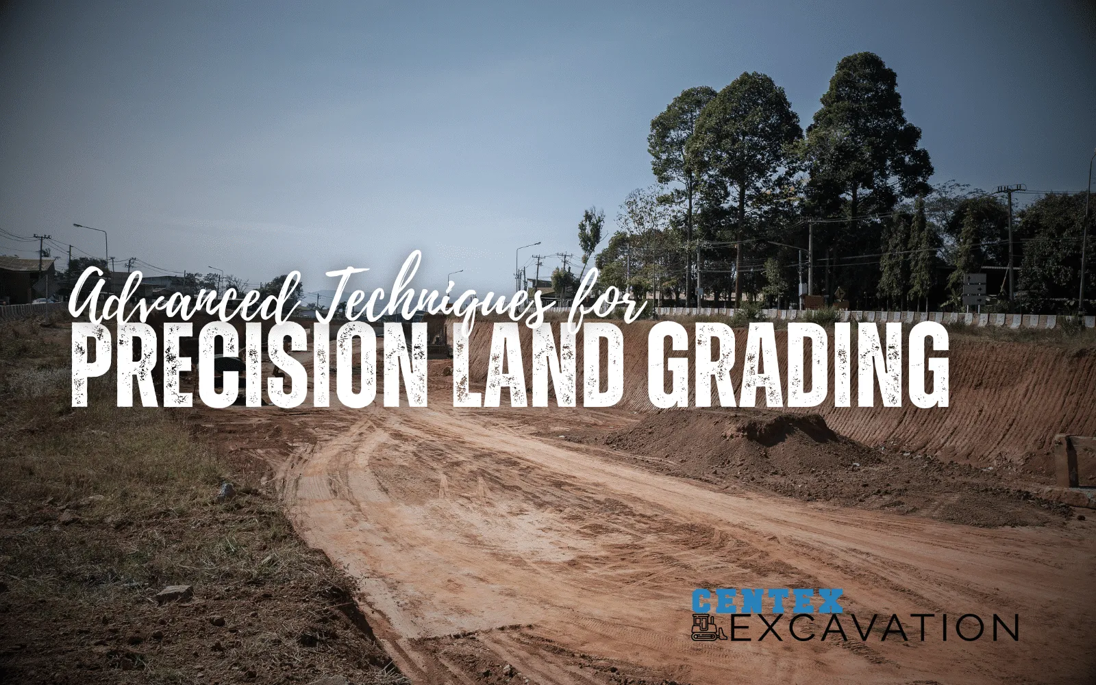
Land grading is a cornerstone in the construction and excavation industry. It ensures that a plot of land meets the specific requirements for drainage, foundation, and overall project success.
Precision in this task cannot be overstated, as it directly influences the longevity and safety of the construction project.
We will break down some of the most advanced techniques that are shaping the future of precision land grading. We'll also offer tips and examples to bring these concepts to life.
Understanding the basics of land grading.
Before getting into advanced techniques, it's crucial to grasp the fundamental goal of land grading. It's to create a slope or grade for water drainage and to prepare a site for construction.
This involves moving soil from higher points to lower points to achieve the desired grade.
While traditional methods have served well for decades, advancements in technology and technique have dramatically increased the precision and efficiency of this process.
Advanced land grading.
Once you have a firm understanding of the basics, you can then get into the advanced methods. There's no substitute for hands-on experience for the basics.
So, if you have a few projects under your belt, then these techniques will help you become more efficient and effective.
Leveraging laser-guided systems.
Laser-guided systems represent a leap forward in grading technology. By using a laser transmitter that emits a constant, level laser beam across the worksite, operators can adjust grading equipment to match the precise height and slope dictated by the laser.
This method allows for an accuracy within millimeters, drastically reducing the margin for error compared to manual or visually guided techniques.
Tips for implementation:
- Invest in quality equipment. Not all laser systems are equal. Opt for systems known for their reliability and precision.
- Regular calibration. Regularly calibrate and maintain your laser equipment to keep it functioning at peak performance. It only takes a few minutes, but the results will blow your mind.
- Training. Make sure operators are well-trained in using laser-guided systems. The sophistication of the technology requires a solid understanding to maximize its benefits.
Example:
Consider a project requiring a 2% slope for drainage across a 10,000-square-foot area. Using a laser-guided system, the operator sets the laser to the desired slope and then adjusts the blade of the grading equipment to match the laser's specifications.
As the equipment moves across the site, the blade maintains the exact height needed to achieve the 2% slope, ensuring precise drainage across the entire area.
This even helps novice operators slope like pros.
Using GPS and machine control systems.
The integration of GPS technology with heavy machinery has been a game-changer for land grading.
GPS machine control systems use satellite signals to determine the position of the grading equipment on the earth's surface, allowing for real-time adjustments to the blade's height and angle to match the design specifications.
Tips for maximizing efficiency:
- Comprehensive site mapping. Before beginning the grading process, conduct a thorough GPS mapping of the site to identify all critical features and elevation points.
- Integration with design software. Use grading design software that can integrate directly with your GPS machine control system, allowing for seamless execution of complex grading plans.
- Continuous monitoring. Utilize the system's monitoring capabilities to make real-time adjustments, ensuring the highest levels of accuracy throughout the grading process.
Example:
On a large residential development project, the grading plan calls for various slopes and elevations to facilitate water runoff and accommodate different building designs.
The team uses GPS machine control systems integrated with their design software to adjust the equipment automatically as it moves across different sections of the site.
This process ensures that each area grades according to the specific requirements laid out in the plan, without requiring manual measurements and adjustments.
Implementing drone technology for surveying and monitoring.

Drones have become invaluable in the construction and excavation industries for their ability to survey land quickly and accurately.
Equipped with high-resolution cameras and sensors, drones can gather detailed topographical data, which can then be used to plan and monitor the grading process.
If you're planning on using a drone for your next project, ensure you're adequately licensed under Part 107 of the FAR. If not, you can always contract out to a professional drone service.
Tips for Effective Use:
- Regular flights. Conduct drone flights before, during, and after grading to monitor progress and ensure consistency with the project specifications.
- Data analysis. Use software capable of analyzing drone data to identify any discrepancies in the grading process early on, allowing for timely corrections. DroneDeploy has one of the best suites we've ever used for aiding in our projects.
- Integration with other technologies. Combine drone data with GPS and laser-guided systems for a comprehensive approach to precision grading.
Example:
Before starting grading work on a commercial site, a drone is flown over the area to collect initial topographical data. This data is used to create a detailed grading plan.
The drone is flown periodically throughout the grading process to capture the progress and compare it against the plan. Any areas not meeting specifications are easily identified and corrected, ensuring the grading meets all requirements with high precision.
This allows us to correct deficiencies before they become severe problems down the road. In the end, this has saved us considerable time on our bottom line.
Advanced techniques: Bringing it all together.
The combination of laser-guided systems, GPS machine control, and drone technology represents the forefront of precision land grading.
By understanding and integrating these advanced techniques, construction and excavation professionals can achieve unprecedented levels of accuracy and efficiency in their projects.
After all, we're all about the bottom line, making our jobs easier and saving costs where we can. Although this technology may have a sizeable initial cost, it can save thousands of dollars over the life of the equipment.

