Drone Surveying for Earthwork

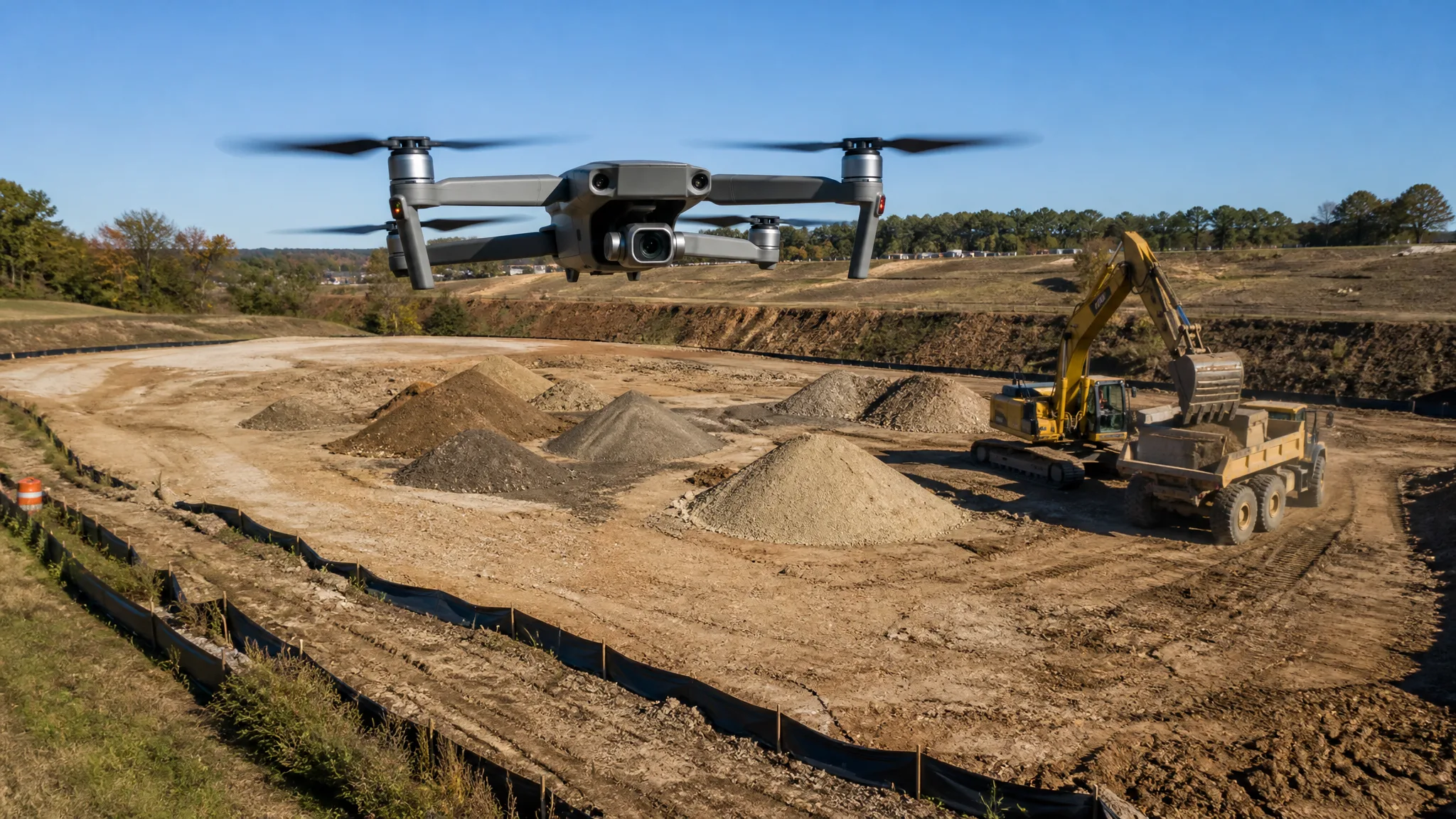
Stockpile volumes, cut and fill progress, and end-of-month quantities used to mean a surveyor with a total station walking the site for a day and a half. On a lot of jobs now it means fifteen minutes of flying and an evening of processing, with a surface model that every stakeholder can look at on a phone. Drone photogrammetry has moved from a novelty to a routine earthwork tool, but it has specific rules about what it can and cannot measure accurately — and rules about flying it legally.
What a Drone Survey Actually Produces
The drone flies a programmed grid over the site, taking overlapping photos from several angles. Software — Pix4D, DroneDeploy, Agisoft Metashape and similar — matches features between those photos and reconstructs the three-dimensional shape of the ground. The output is a point cloud, a triangulated surface model, and usually an orthophoto: a geometrically corrected aerial image you can measure directly.
That surface model is the useful part. Once you have a digital elevation surface, you can measure a stockpile's volume against a base plane, compare this week's surface to last week's, or check as-built grades against the design surface. It is the same arithmetic a surveyor does with cross-sections, executed across millions of points instead of a few dozen.
Where Drones Beat Conventional Survey
The obvious advantage is speed across large areas. A forty-acre site that takes a field crew days to pick up can be flown in under an hour, and the whole site gets covered rather than sampled. That changes what is practical: weekly progress flights become realistic where weekly field surveys were not.
Stockpile inventory is the classic application. Aggregate yards, mulch and topsoil operations, and contractors holding material through the winter all need periodic volumes, and an aerial surface model measures every pile in one pass. For a business that reports inventory monthly, that is a direct accounting benefit, not just a mapping convenience. The same accounting logic applies to tracking how much material has actually moved against the bid — see excavation takeoff methods for the estimating half of that equation.
The third advantage is dispute resolution. A dated surface model is hard to argue with. When an owner claims more fill was placed than the tickets show, or a subcontractor disputes a quantity, a time-stamped aerial surface settles it faster than a box of paper tickets.
Accuracy: Relative vs. Absolute
This is where most buyers get confused, and it is worth separating two different questions. Relative accuracy asks whether the model is internally correct — whether the pile in the model is the same shape and volume as the pile on the ground. Absolute accuracy asks whether the model is in the right place on the earth, correctly tied to real coordinates and to the project's design datum.
For volume measurement, relative accuracy is usually enough, and modern photogrammetry is very good at it. Service providers commonly advertise volumetric results within a couple of percent, and that is a reasonable expectation on clean, well-photographed sites — which is roughly the precision a good field survey achieves on a stockpile anyway, since the base plane definition itself involves judgment.
Absolute accuracy is what you need when the model has to overlay the design drawings, feed a payment application, or support a permit or legal process. That requires ground control: surveyed points with known coordinates visible in the imagery, or a drone with RTK or PPK positioning and a base station. Without ground control, a model can be internally perfect and still be sitting a foot off in elevation — which matters enormously when you are checking grade.
Ground Control and the Flight Itself
Set ground control points before the flight if absolute accuracy matters. They should be visible targets, well distributed across the site rather than clustered in one corner, and surveyed to a known accuracy. Check them against the processed model afterward — that residual tells you whether the flight is trustworthy or needs to be redone.
Flying technique matters as much as the equipment. Keep the camera looking straight down for the mapping passes, maintain consistent altitude so the ground sample distance stays uniform, and fly enough overlap that every point on the ground appears in several photos. Lower altitude gives finer detail but covers less area per pass; the tradeoff is resolution against time in the air.
Add oblique passes around stockpiles and steep faces. Vertical imagery alone struggles on near-vertical surfaces, and the sides of a tall pile are exactly where volume errors hide.
What Drones Measure Badly
Photogrammetry reconstructs surfaces from visual texture. Anything without texture is a problem. Water is the worst case: a pond or a wet, reflective surface comes out as a flat plane or a hole in the model, which is why drone volumes are unreliable in submerged areas. Fresh, uniform surfaces — a just-graded pad, clean gravel, smooth concrete — can also be difficult because the software has few features to match.
Vegetation is the other limit. Photogrammetry sees the top of the canopy, not the ground under it. A site with tall grass or brush produces a surface model of the vegetation, and both volumes and grade checks will be wrong until the ground is cleared or the flight is planned around it. Bare earth is where this technique shines.
Deep shadows and low sun angles degrade results too. Fly near midday rather than at dawn or dusk, and avoid days with heavy haze or fast-moving cloud shadows across the site.
Deliverables Worth Paying For
A drone flight is only as valuable as what it produces. The basics are the orthophoto, the point cloud, and a surface model in a format your design software can read. From there, ask for what the job actually needs: volume reports against a defined base, a comparison surface showing cut and fill against design, a progress overlay showing this flight against the last, and a grade map that highlights areas out of tolerance.
Pay attention to the datum and coordinate system. A volume cut against the wrong base plane is worse than no volume at all, because it looks authoritative. Confirm the elevation datum, the units, and the base surface definition in writing before the first invoice depends on it.
If you are comparing this to conventional layout, the relationship is complementary rather than competitive: aerial models tell you where the site is, while staking still puts the machine in the right place. Construction staking and site layout and how to set grade cover the ground-level side.
Regulatory Reality: Part 107 and Airspace
Commercial drone work in the United States falls under the FAA's Small UAS Rule, Part 107. Flying for a business — including flying your own site for your own project — requires a Remote Pilot Certificate, obtained by passing the FAA's Unmanned Aircraft General knowledge exam, and the certificate must be kept current with recurrent training every 24 calendar months. The aircraft must be registered, and operations have to respect the rule's limits on altitude, visual line of sight, and flight over people.
Airspace is the part that stops flights on short notice. Much of the airspace near airports requires authorization, obtained through the FAA's Low Altitude Authorization and Notification Capability system or a waiver. Sites near a hospital helipad or an airport can require coordination that takes days, so check before scheduling a flight that a payment application depends on.
Two more constraints come up on real jobsites. Flying over active construction raises questions about people and equipment below, and the Part 107 limits on operations over people are stricter than most operators assume. And on projects with federal, state, or local contracting requirements, data handling and privacy provisions may apply to imagery of neighboring property. Check with the owner's representative before flying over adjacent land.
Buying the Service or Building the Capability
The build-or-buy decision follows the same logic as equipment. If you need a handful of flights a year, hiring a Part 107 pilot who also understands earthwork is cheaper and lower risk than training a staff member and buying a drone, a processing subscription, and a control network. A good provider delivers a defensible model with documentation; a cheap one delivers a pretty picture.
If you need weekly data across multiple sites, building the capability starts to pay. The entry cost is modest relative to an excavator — an RTK-capable drone, a processing subscription, targets, and training — but the real investment is the process: consistent flight planning, control placement, file naming, and a defined deliverable format. Inconsistency is what makes in-house drone data useless, not the hardware.
Either way, treat the aerial data as a measurement system with a defined accuracy, not as a magic picture. Document the flight date, the control used, the processing settings, and the datum. When a quantity is questioned six months later, that documentation is the difference between settling a dispute and losing one.
Practical Uses Beyond Stockpiles
Once the workflow exists, other uses follow naturally. Progress documentation for owners and lenders, who increasingly expect periodic aerial imagery. Pre-bid site reconnaissance, since an aerial model of a site you cannot access is better than a guess. Erosion and sediment control inspections, where an overhead view quickly shows whether silt fence is intact and whether stormwater is leaving the site — the same concerns covered in what a SWPPP is.
Volume reconciliation is another quiet win. Comparing the surface model against the design surface tells you how much material remains to move, which feeds directly into cost forecasting. That is the difference between discovering a shortfall at the end of the job and seeing it coming in week three; the tracking side of that is covered in excavation job costing.
Drone surveying will not replace the surveyor, the grade crew, or the machine operator. What it does is collapse the feedback loop: instead of finding out at the end of the month that the pad is low, you find out on Tuesday. On an earthwork job, finding out early is most of the value.